Build your resume with practical, mentor-guided internships.
Duration: 1–3 months
Real-world GIS tasks
Project certificate & report
Ideal for UG/PG students
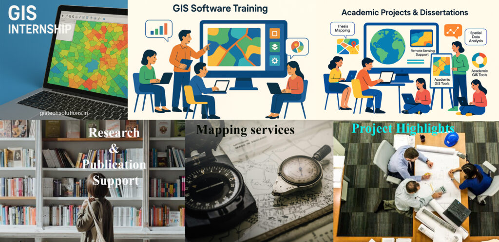
Complete your academic work with expert GIS assistance.
BSc / MSc / MTech / PhD level
Topic ideation to final report
Spatial data processing, analysis, and mapping
Plagiarism-checked documentation
Master tools that matter in the geospatial world.Courses Offered:
Basics of GIS and Remote Sensing
Advanced GIS and Remote Sensing
Remote Sensing & GPS
Python for GIS
Web & Mobile GIS
Certification included
Professional spatial analysis and map creation for academic or planning needs.
Land Use/Land Cover (LULC)
Groundwater Mapping
Watershed Analysis
Environmental & Urban Planning
Change Detection & Thematic Maps
Strengthen your thesis or research paper with spatial insight.
GIS data integration
Literature review & methodology
Data visualization & interpretation
Journal-ready formatting
Real Projects. Real Impact.See how our students and clients have applied GIS across fields like: